

Map
Precisión de la ubicación
Exacto
Description
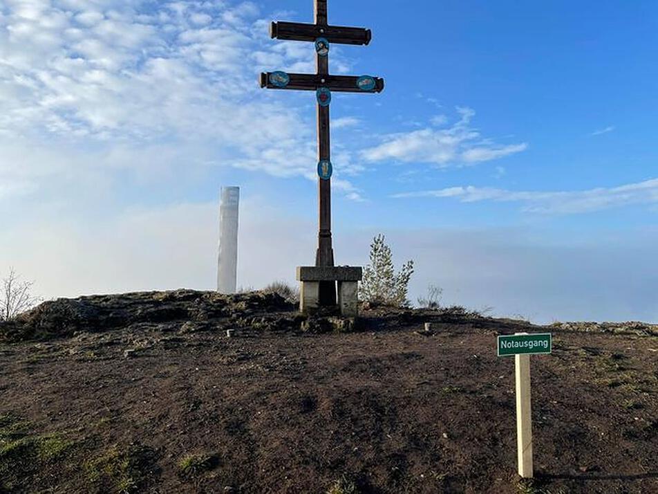
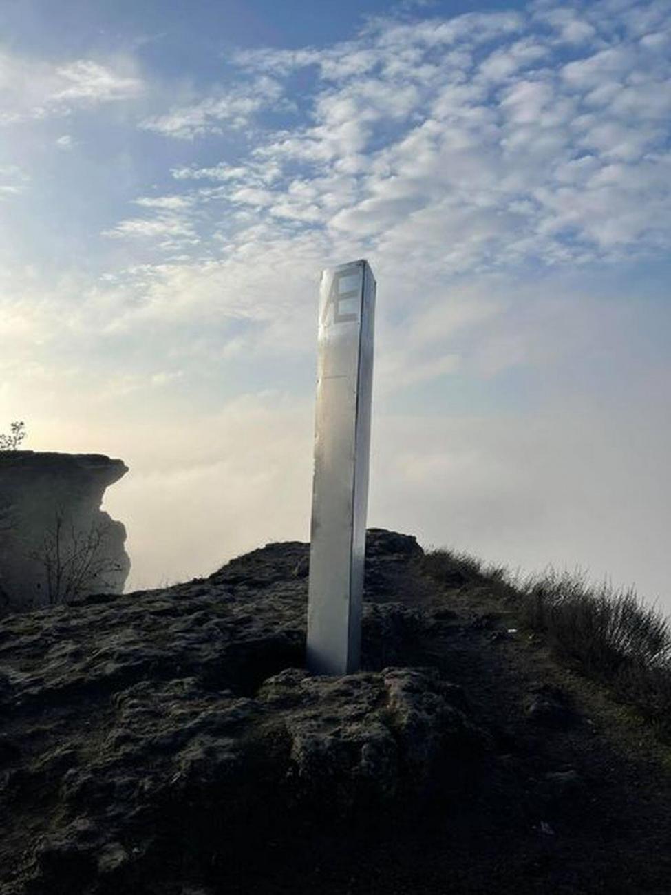
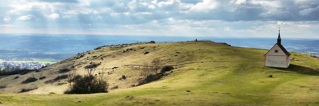
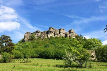
Un monolito apareció el 16 de diciembre de 2020 en Staffelberg cerca de Bad Staffelstein.
Notes
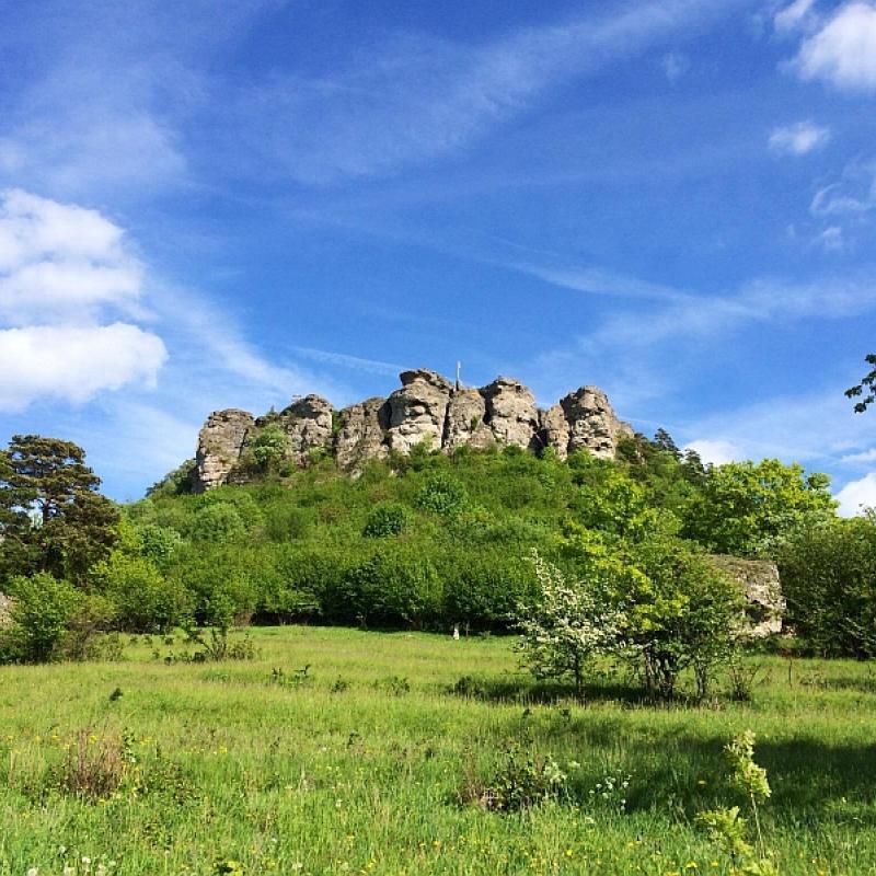
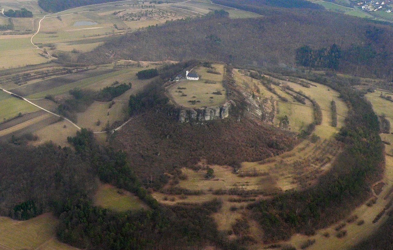
The town of Staffelberg is 539 meters above sea level. NHN high Zeugenberg in front of the Franconian Alb in the so-called God's Garden on the Upper Main. It is the local mountain of Bad Staffelstein in the Upper Franconian district of Lichtenfels. The name of the elevation is derived from the distinctive terrain levels ("seasons"), which give an insightful insight into the geological history of the Jurassic period. From the Neolithic Age (around 5000 BC) to the Roman Empire (around 350 to 420 AD), the mountain was populated several times. During the La Tène period, the Celtic oppidum Menosgada was on the high plateau of the Staffelberg. Today the Staffelbergklause with beer garden and the Adelgundis Chapel, built in 1653, are located there.
https://de.wikipedia.org/wiki/Staffelberg
“The name of the elevation is derived from the distinctive terrain levels ("seasons"), which give an insightful insight into the geological history of the Jurassic period. From the Neolithic Age (around 5000 BC) to the Roman Empire (around 350 to 420 AD), the mountain was populated several times.”
The above statement may not be entirely correct.
In fact, the name may actually stem from the very old tribe or family with the surname “Staffel” who may have occupied this area. Surviving records reference the Staffel family as the “very old family” or “ancient tribe” and is believed to be one of the few tribes actually originating in the forest behind Staffel mountain.
Dates & Classification
Fecha manchada
Clasificación
Monolitos cuestionables, no confirmados como imitaciones pero probablemente considerando el origen o apariencia del monolito.
Múltiples monolitos
✖
Physical Qualities
Material
Metal genérico
Construcción
Remachado
Número de lados
Cuatro lados (rectangular o cuadrado)
Textura
Otro
Geometría superior
Plano
Altura
3.00metros
Marcas
Texto
Articles & Media
